
Dynamic Aerial Systems
By Grant A. Hamilton
Solving Water Shortages from Colorado to California
Topic/problem:
The problem at hand is water monitoring in the western half of the United States. Millions of gallons of water are wasted every year from the Rockies to the Pacific ocean. This affects the lives of roughly 20% of the country.
The in-ability to properly monitor the water in our country is proving to be disastrous for some communities, whether it be too much water in the form of natural disasters, or too little water in the form of droughts. It is a persistent issue that will only continue to evolve and grow over time into a much larger problem.
The inspiration for this project began when I was living in southern California over the summer. After traveling throughout the state and observing the landscapes, I realized that there was an immense water shortage and that it was affecting the lives of millions of people.
Whether it be people having trouble to get clean, fresh water to their homes, to vegetation being dried out and starting wildfires that tear through communities. It is evident that water plays a significant role in our society and the western half of the United States is constantly plagued by the issues it causes.
Solution:
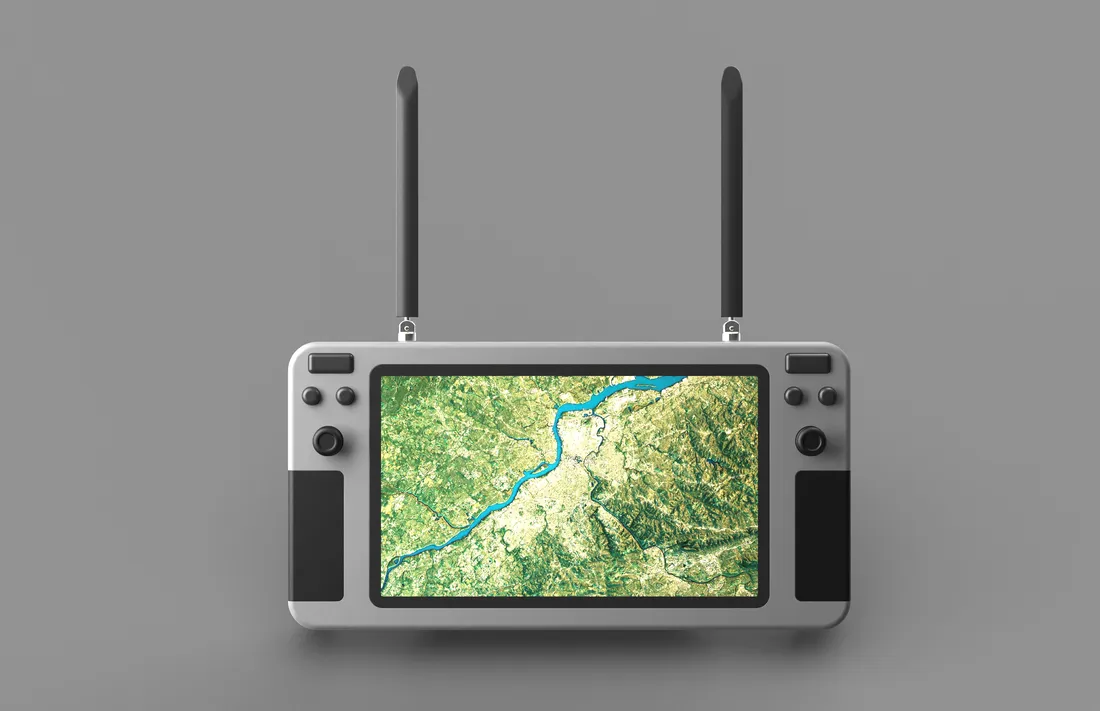
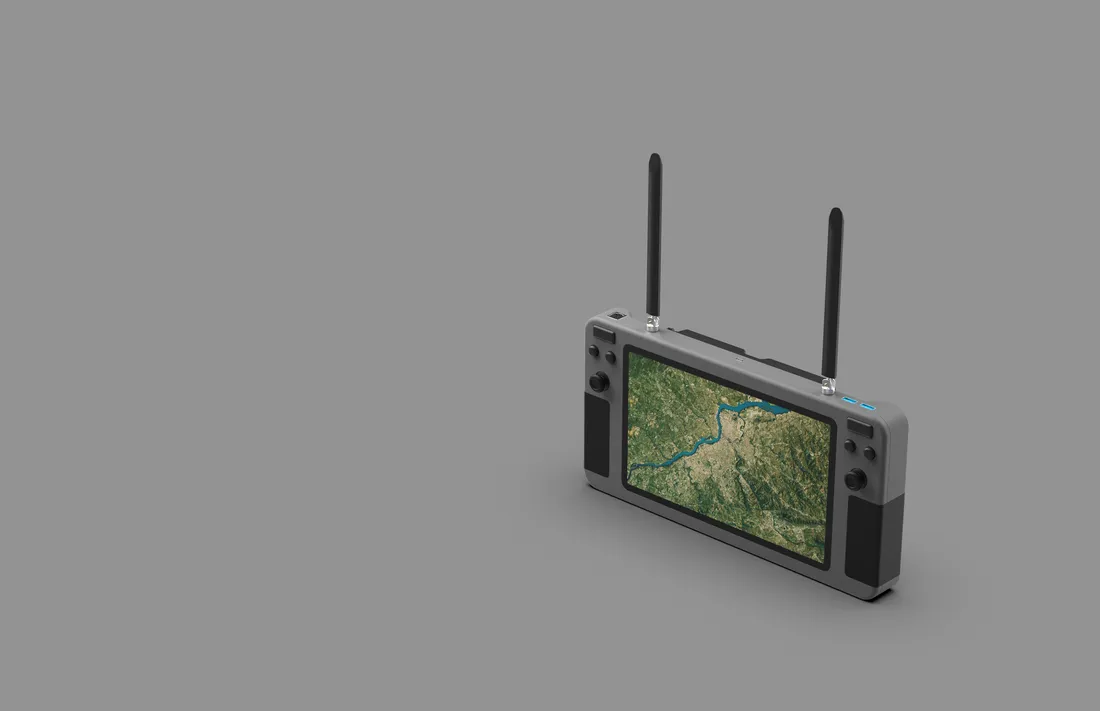
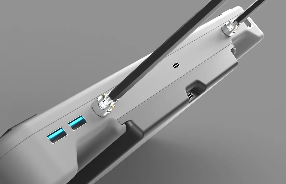
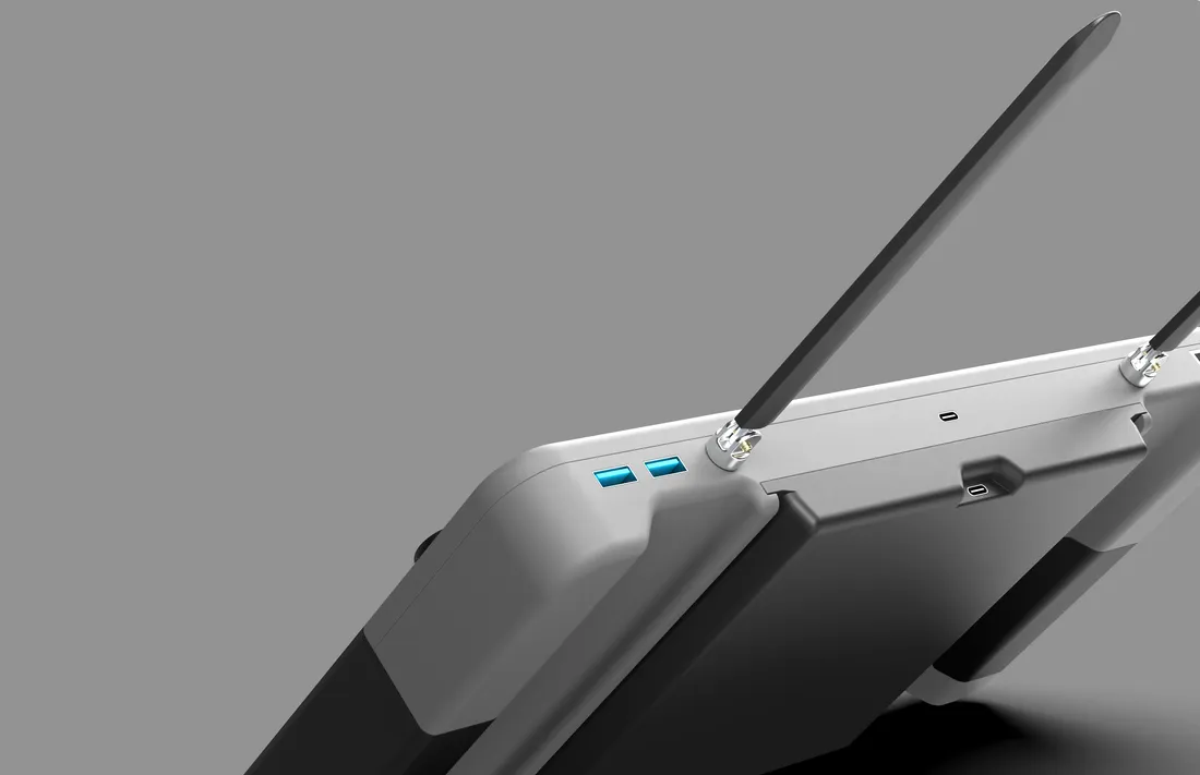
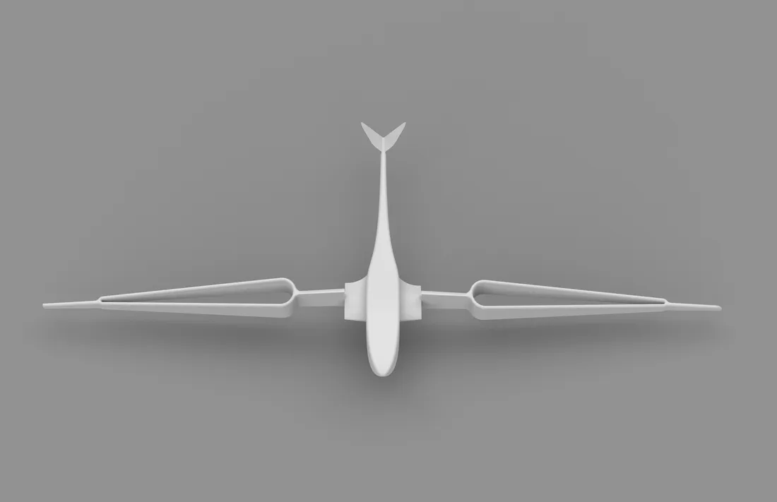
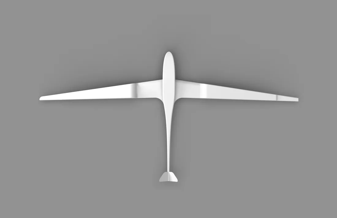
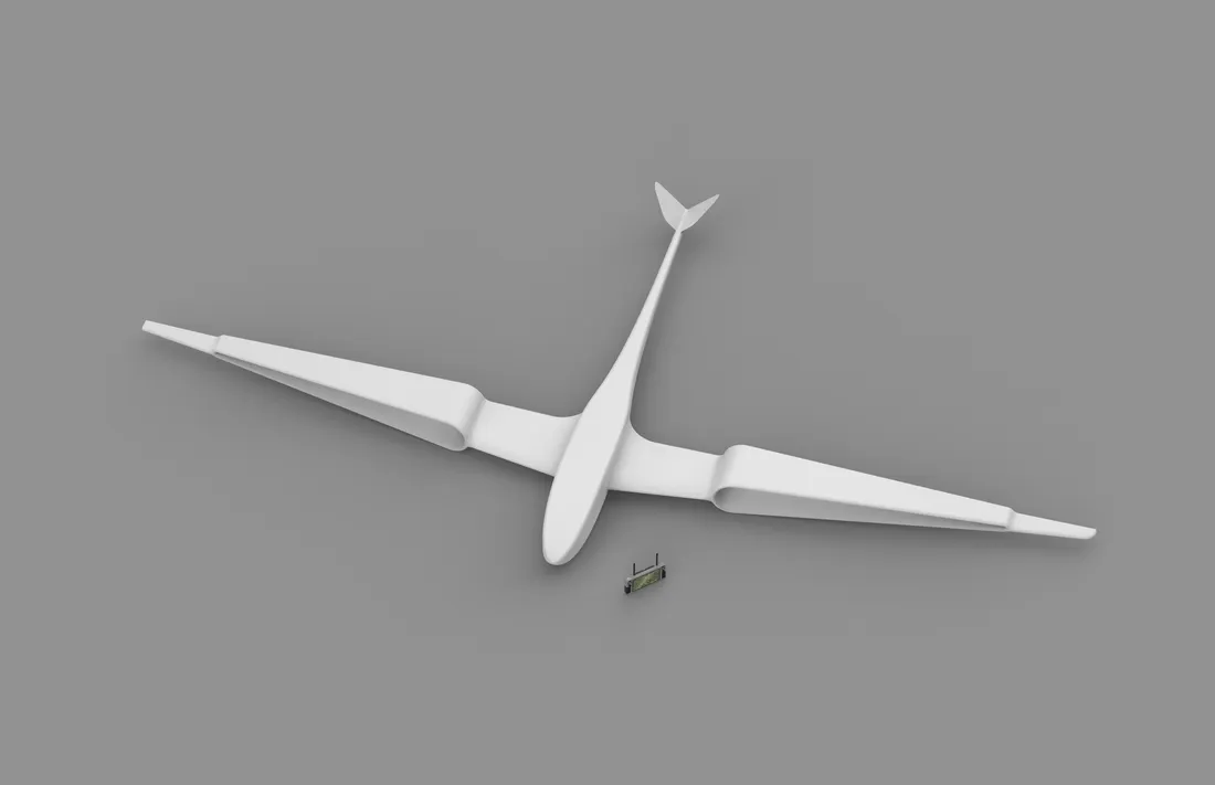
The solution presented utilizes a medium format drone to fly over the wilderness to scan the environment and provide data that will help scientists and engineers make the crucial decisions of whether a community should be built in a particular area or not, and how much water is expected to be available in a particular region.
It utilizes LiDar and Thermal imaging to build a three dimensional map that highlights where water is present, collecting, and bound to go to help aid scientists in determining how they will preserve water throughout the year.


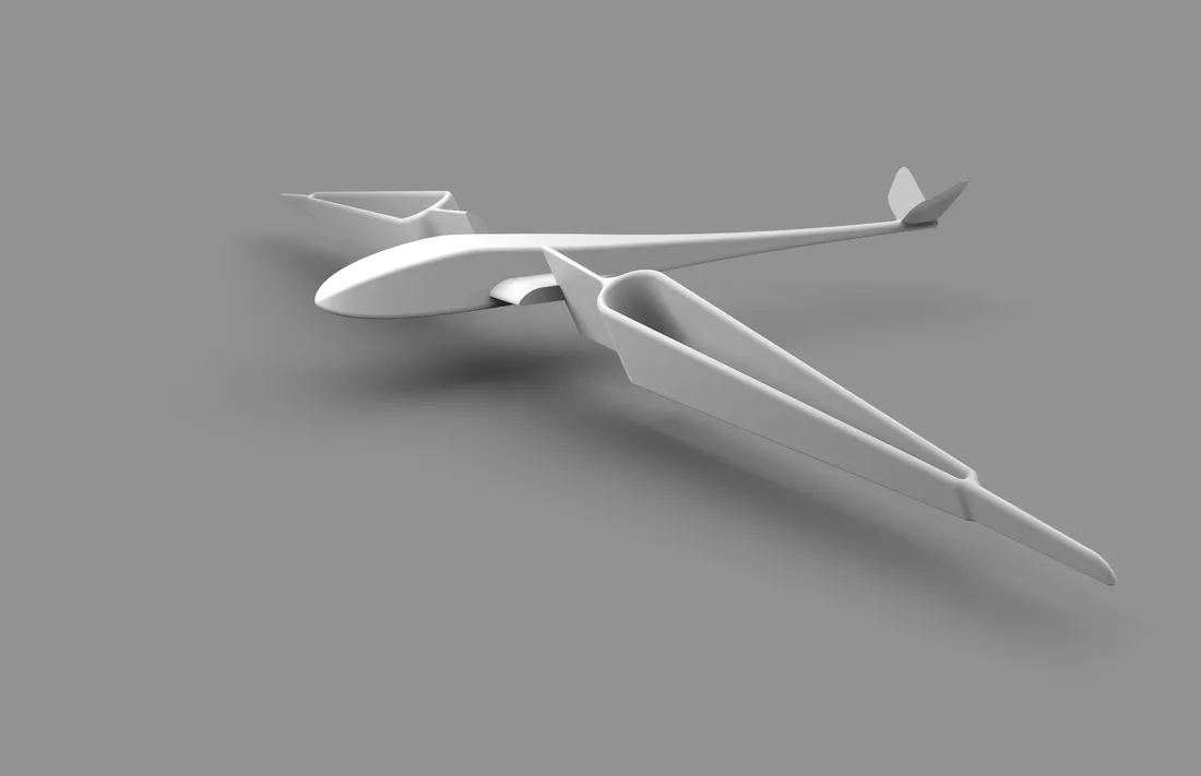
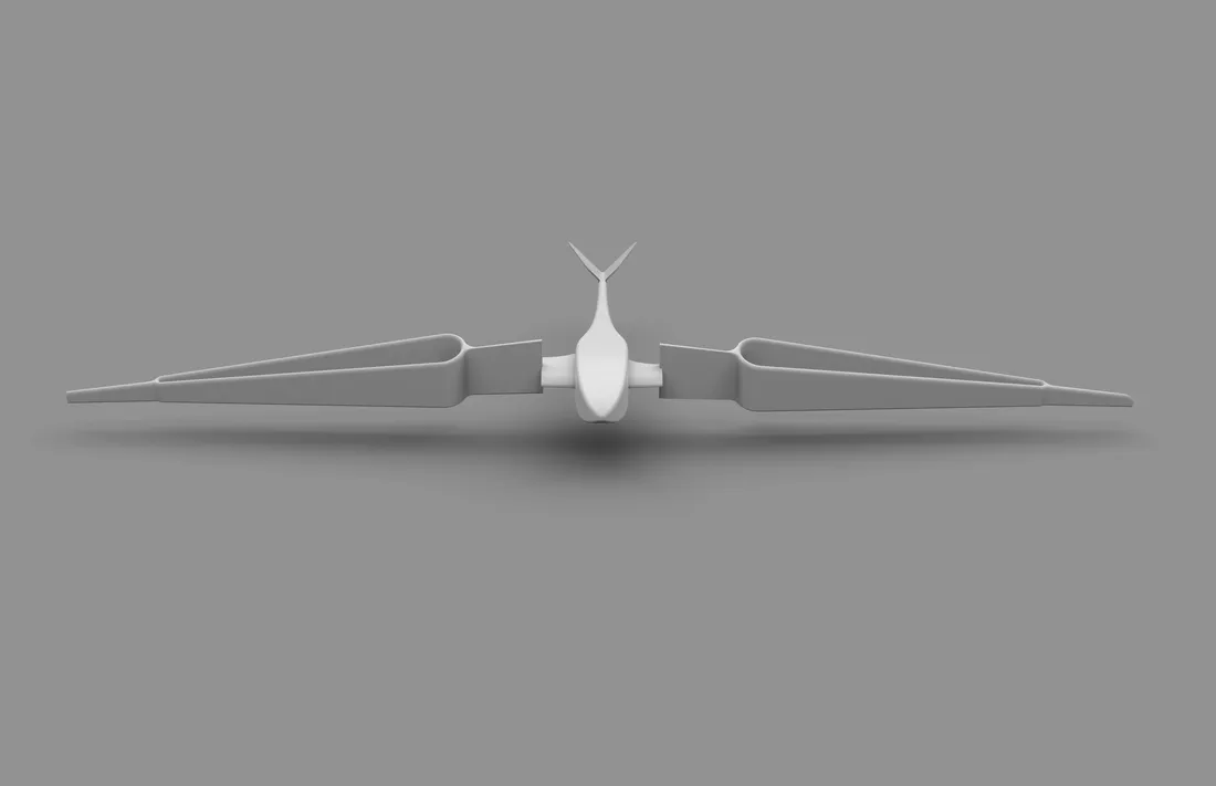
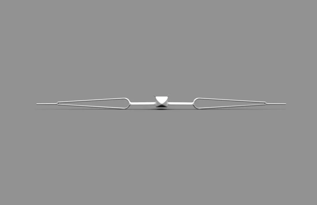
Plane Final Render
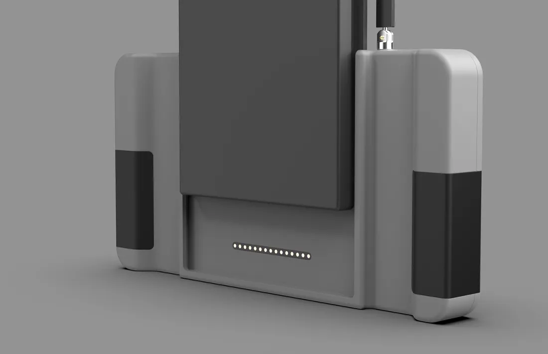
Plane & Controller Final
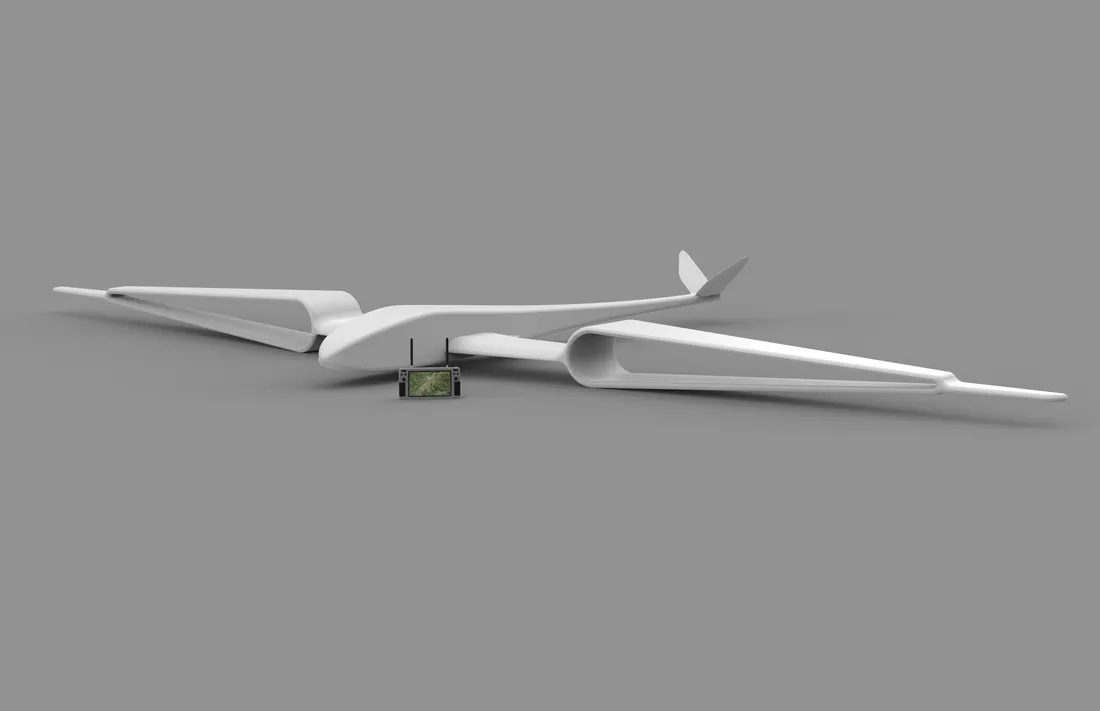
Plane & Controller Final